How to use the Fish ON-Line interactive zone map
Trying to figure out where you can fish for walleye in July, what the possession limits are for smallmouth bass on Lake Simcoe, or if that little creek in your provincial park campsite even allows fishing can feel like trying to solve a cryptic puzzle. The Ontario fishing regulations are famously comprehensive, which is great for conservation but sometimes a real headache for anglers. That's where the Fish ON-Line interactive zone map steps in, becoming an indispensable tool for every angler hitting Ontario's waters, simplifying those complex rules and helping you plan your next adventure with confidence.
The Challenge of Ontario's Fishing Regulations
Let's be real, the Ontario fishing regulations can be daunting. You've got different zones, specific rules for countless species, varying season dates, and sometimes even unique rules for individual lakes or rivers. It's enough to make even the most seasoned angler scratch their head and double-check, sometimes multiple times. The sheer volume of information can be overwhelming, leading to uncertainty and, frankly, a bit of anxiety about accidentally breaking a rule.
Why Navigating Regulations Feels Like a Maze
Picture this: you're planning a trip to a new lake up north, maybe somewhere in FMZ 20. You've heard the walleye fishing is fantastic, but you also know that Northern Ontario often has different rules than, say, Lake Erie. You need to know when the season opens, what the daily catch limit is, and if there are any special size restrictions. Then you remember that you also want to target some pike, and their regulations might be entirely different, even in the same lake. Add in the possibility of special regulation waters, and suddenly your relaxing fishing trip planning turns into a full-blown research project. This complexity isn't unique to a specific species; it applies across the board, from trout to bass to muskie.
The Old Way vs. The New Way
For years, many of us relied solely on the printed Ontario Fishing Regulations Summary. It's a fantastic resource, don't get me wrong, and it's still absolutely vital. You could pick one up at any bait shop or even order one online, perhaps through a vendor on Amazon. We'd flip through pages, cross-referencing maps with tables, often using a finger to keep track of our place. While effective, it could be slow and sometimes difficult to visualize exactly where a regulation line might fall on a real-world map.
Then came the digital revolution, and with it, tools like the Fish ON-Line interactive map. This platform offers a dynamic, visual way to explore regulations, turning that paper-flipping exercise into a few clicks of a mouse or taps on a screen. Instead of just reading about a boundary, you can see it, overlaying it on satellite imagery or a topographic map. It brings the regulations to life, making them far more accessible and understandable, especially when you're trying to figure out your local Ontario Fisheries Management Zones, Explained.
Getting Started with Ontario's Fish ON-Line Interactive Zone Map
The Fish ON-Line map is your digital gateway to understanding Ontario's fishing rules. It's designed to be user-friendly, but like any powerful tool, knowing how to navigate it can make all the difference. Let's walk through the basics of getting started.
Accessing the Map and Understanding the Interface
First things first, you'll want to access the Fish ON-Line map. A quick search for "Ontario Fish ON-Line" will lead you right to the Ministry of Natural Resources and Forestry (MNRF) website. Once there, you'll typically see a map of Ontario, often with the various Fishing Management Zones (FMZs) already outlined.
The interface is usually laid out with a few key components:
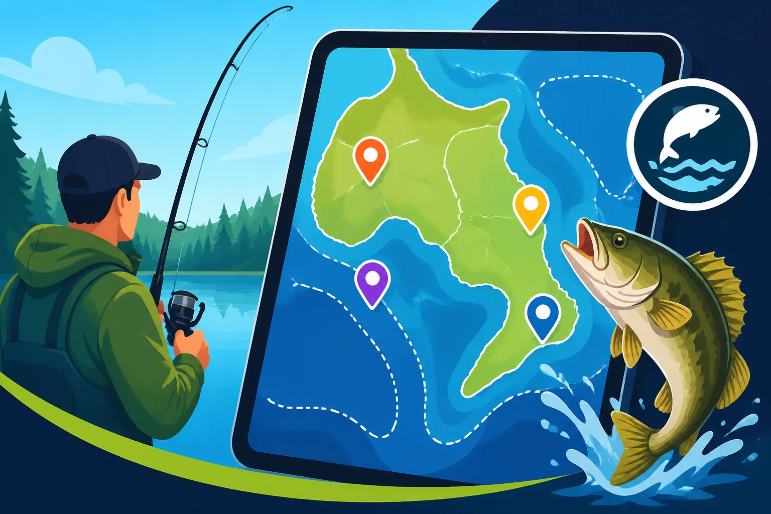
- The Main Map Window: This is where you'll see the geographical area. You can zoom in and out, pan across the province, and change the base map (satellite, street view, topographic) to suit your preference.
- Search Bar: Usually located at the top left or right, this allows you to search for specific lakes, rivers, or even towns. This is incredibly handy if you know where you're headed but not its exact location on the map.
- Layers Menu: This is one of the most powerful features. It allows you to toggle different information layers on and off, such as FMZ boundaries, special regulations, stocked lakes, access points, and bathymetry (water depth contours).
- Legend: Explains what the various colors and symbols on the map represent. Always a good idea to consult this, especially when you're first getting acquainted with the map.
Take a moment to familiarize yourself with these elements. Try zooming in on your local lake or a famous spot like Lake Simcoe. You'll quickly get a feel for how the map responds and how to manipulate its view.
Finding Your Fishing Management Zone (FMZ)
One of the primary uses of the Fish ON-Line map is to clearly identify the Fishing Management Zone (FMZ) for your intended fishing location. As we all know, different FMZs can have wildly different rules for the same species.
Here's how to do it:
- Navigate to Your Area: Use the search bar to type in the name of the lake, river, or town you plan to fish near. Alternatively, you can zoom and pan the map manually.
- Enable the FMZ Layer: In the layers menu, ensure the "Fishing Management Zones" layer is checked or visible. You'll then see the distinct boundaries of each zone highlighted on the map, often with a different color or shading.
- Click for Information: Once you've located your spot, simply click within the boundary of the FMZ. A pop-up window or sidebar will typically appear, providing the FMZ number and often a direct link to its specific regulations.
This instant identification is a game-changer. No more guessing if that little bay is in FMZ 18 or FMZ 19! It helps immensely when you're trying to understand the broader Ontario Fishing Regulations Explained for your area.
Deciphering Species-Specific Regulations
This is where the map really shines – helping you understand the rules for the fish you're targeting. Whether you're chasing after the elusive muskellunge or hoping for a limit of panfish, the map can provide critical details.
Here’s a general process:
- Select Your Location (if not already done): Zoom in on the specific lake or river you're interested in.
- Activate Relevant Layers: Make sure the "Special Regulations" layer is on, if applicable, as some waters have unique rules that override general FMZ rules.
- Use the Species Filter/Search (if available): Some versions of the map allow you to filter regulations by species. If not, clicking on the specific waterbody will usually bring up a menu of species found there.
- Review the Regulations: Once you select a species, the map will display key information:
- Season Dates: When you can legally fish for that species. For example, it will show you the exact Ontario Walleye Opener Dates by Zone or when bass season closes.
- Daily Catch Limit: How many you can keep in a single day.
- Possession Limit: The total number you can have in your possession, including those at your camp or in your freezer.
- Size Restrictions: Minimum or maximum lengths, or often "slot limits" like the Ontario Smallmouth Bass Slot Limits where you can only keep fish within a certain size range.
For example, if you click on Lake Nipissing and select 'Walleye', the map will display the current season dates, daily limit, and possession limit for walleye within that specific lake, which is located in FMZ 11. It's a much more visual and intuitive way to absorb this critical information than sifting through pages of text.
Advanced Features and Tips for Maximizing the Fish ON-Line Map
While the basic functions are incredibly helpful, the Fish ON-Line map offers even more tools to enhance your fishing preparations. Digging into these advanced features can truly elevate your planning and on-water experience.
Utilizing Layers for Deeper Insights
The power of the interactive map lies in its layers. Think of them as transparent sheets of information you can stack on top of your base map.
Here are some common and incredibly useful layers you might find:
- Bathymetry (Lake Depth): This is a huge one for serious anglers! Having depth contours right on the map allows you to identify potential drop-offs, underwater humps, and channels where fish might congregate. This can be invaluable for species like lake trout in the summer, or even locating walleye on deep structures.
- Access Points: Shows public boat launches, shore fishing access points, and portages. This is fantastic for scouting new areas and ensuring you can actually get your boat or yourself to the water.
- Stocked Lakes: Highlights lakes that are regularly stocked with fish, often trout or splake. If you're looking for a good put-and-take fishery, this layer is your friend.
- Special Regulations: This is critical. It shows waters with rules that differ from the general FMZ regulations. Always check this layer, especially when you're exploring Special Regulation Waters in Ontario. Ignoring this could lead to an unwanted interaction with a conservation officer!
- Protected Areas/Reserves: Identifies areas where fishing might be restricted or prohibited altogether.
By selectively turning these layers on and off, you can build a comprehensive picture of your chosen fishing spot. For instance, combining bathymetry with access points allows you to plan not just where you'll fish, but how you'll get there and target specific structures.
Planning Your Trip with Confidence
The Fish ON-Line map isn't just for checking current regulations; it's a powerful trip planning tool. Before you even pack your bags, you can use it to make informed decisions.
- Pre-Trip Research: Before heading to one of the Best Fishing Lakes in Ontario, you can scout the general area for boat launches, identify potential hotspots based on depth contours, and get a feel for the surrounding landscape. This can help you decide what kind of tackle to bring, from the Best Tackle for Ontario Walleye to specialized gear for muskie.
- Checking Season Openers: Avoid the disappointment of arriving at a lake only to find the season isn't open yet. The map clearly displays Ontario Fishing Season Dates by Zone, allowing you to time your trip perfectly for your target species.
- Understanding Bag and Possession Limits: Knowing the Ontario Bag and Possession Limits by Species beforehand helps you set realistic expectations for your harvest and ensures you stay within the legal framework.
- Identifying Obstacles: Are there any rapids on that river you plan to canoe? Does the lake have a section that's 'no motorized boats'? The map can provide clues, preventing surprises once you're on the water.
This proactive approach minimizes guesswork and helps you focus on the fishing itself, rather than worrying about compliance.
Practical Scenarios and Troubleshooting
Let's imagine a few common scenarios and how the Fish ON-Line map can quickly provide answers:
Scenario 1: You're camping at Algonquin Provincial Park and want to fish a small lake nearby.
- Problem: You're not sure which FMZ it's in, or if it has specific park regulations.
- Solution: Search for "Algonquin Provincial Park" or the specific lake name. Enable the FMZ layer to confirm the zone. Then, check the "Special Regulations" layer. Clicking on the lake should bring up any specific rules that apply, which might include catch-and-release only sections or bait restrictions within the park.
Scenario 2: You're visiting from out of province and want to fish for a weekend.
- Problem: You need to understand license requirements and costs.
- Solution: While the map doesn't sell licenses, it's the first step to knowing what regulations you'll need to follow once you get your license. You can quickly see the rules for the area you plan to visit, which then informs what kind of license you'll need (e.g., a Sport or Conservation license). For license specifics, you'd then refer to resources like the Ontario Fishing License Guide for 2026 or How Much Does an Ontario Fishing License Cost.
Scenario 3: You're fishing a popular walleye spot on the Bay of Quinte and suspect it has a slot limit.
- Problem: You can't remember the exact size restrictions.
- Solution: Navigate to the Bay of Quinte on the map. Click on the waterbody, select "Walleye," and the pop-up will show you the current daily limit, possession limit, and any applicable slot limits for that specific body of water.
Troubleshooting Tip: If the map seems slow or isn't loading correctly, try refreshing your browser or clearing your cache. Sometimes, complex mapping applications can get bogged down. Also, remember that mobile data might be spotty in remote areas, so it’s always a good idea to consult the map before you head out, and perhaps even take screenshots of critical information.
Beyond the Map: Complementary Tools and Resources
While the Fish ON-Line interactive map is an incredible asset, it's important to remember that it's one tool in your angling arsenal. A truly prepared angler uses a combination of resources.
Why the Ontario Fishing Regulations Summary is Still Essential
Even with the convenience of the digital map, the physical (or PDF) Reading the Ontario Fishing Regulations Summary remains absolutely crucial. Here's why:
- Comprehensive Text: The summary contains detailed explanations, definitions, and specific legal wording that the map might only summarize visually. It defines terms like "sport fishing," "conservation fishing," and "aggregate limits," which are vital for full understanding.
- Legal Document: The printed summary is the official legal document outlining the regulations. While the map strives for accuracy, the summary is the definitive source in case of any discrepancy. It’s always good practice to have a copy, even if it’s just on your phone, to refer to when you're out on the water.
- Offline Access: In many remote areas of Ontario, cell service is non-existent. A downloaded PDF or a physical copy of the summary ensures you have access to the rules, no matter how far off the grid you go. You can even find waterproof versions of the summary at some bait shops or outdoor retailers that you could consider purchasing on Amazon before your next trip.
Think of the map as a fantastic visual guide and quick reference, and the summary as your comprehensive textbook. They work best in tandem.
Other Digital Tools and Community Resources
Beyond the official map and summary, a wealth of other digital tools and community resources can further enhance your fishing experience:
- Fishing Apps: Many third-party fishing apps, like Fishbrain or Angler's Atlas, offer crowd-sourced information, catch logs, and even some regulation overlays. While not official sources, they can provide additional insights into what's biting and where.
- Online Forums and Social Media Groups: Platforms like the "Ontario Fishing Community" on Facebook or dedicated forums can be goldmines of information. Anglers often share real-time conditions, recent catches, and tips for specific locations. Just be sure to cross-reference any regulation advice with official sources.
- MNRF Website: The broader MNRF website provides general information about conservation efforts, species profiles, and updates on fishing license sales.
- Bait Shops and Local Guides: Don't underestimate the value of local knowledge! Stopping into a local bait shop or chatting with a fishing guide can provide invaluable, up-to-the-minute information about conditions, hot spots, and any localized peculiarities in regulations that even the map might not immediately highlight. They often have the pulse of the local fishery.
Combining the power of the Fish ON-Line interactive map with the detailed text of the regulations summary and the collective wisdom of the angling community creates a robust strategy for informed and successful fishing in Ontario. Happy fishing, and tight lines!
Fish ON-Line Map Key Features
Here's a quick overview of the most valuable features you'll find on the Fish ON-Line interactive map:
| Feature | Description | Primary Benefit |
|---|---|---|
| Interactive Map | Zoomable map of Ontario with various base layers (satellite, road, topo). | Visualizes fishing locations and surroundings. |
| FMZ Boundaries Layer | Overlays all Fishing Management Zone boundaries. | Clearly identifies the specific FMZ for your location. |
| Species Regulations | Displays season dates, limits, and size restrictions for chosen species. | Instantly provides legal rules for targeted fish (e.g., walleye, bass, trout). |
| Special Regulations Layer | Highlights specific water bodies with unique rules. | Alerts anglers to localized exceptions to general FMZ regulations. |
| Bathymetry Layer | Shows underwater depth contours for many lakes. | Aids in identifying fish habitat, structure, and potential hotspots. |
| Access Points Layer | Marks public boat launches, shore access, and portages. | Helps plan entry and exit points for fishing trips. |
| Search Function | Allows searching for specific lakes, rivers, or towns. | Quickly navigates the map to desired fishing destinations. |
| Stocked Lakes Layer | Identifies lakes where fish (often trout) are regularly stocked. | Guides anglers to areas with enhanced fishing opportunities for stocked species. |
Disclaimer
The information provided in this guide is for general informational purposes only and is not intended to be a substitute for official legal advice. Fishing regulations in Ontario are subject to change, and it is the angler's responsibility to consult the most current official Ontario Fishing Regulations Summary and the Fish ON-Line interactive map provided by the Ontario Ministry of Natural Resources and Forestry (MNRF) before engaging in any fishing activities. Always ensure you have the appropriate licenses and adhere to all local, provincial, and federal laws and regulations.